Downtown Brooklyn Partnership is excited to announce its partnership and a new case study published with Coord, a curb management platform, to better understand the streets of Downtown Brooklyn. As a partner in DBP’s Living Lab program, Coord’s augmented reality technology has provided a baseline for the conditions and usage of curb space along Fulton Mall and its cross-streets. With the data collected in this project, Downtown Brooklyn Partnership will be able to more effectively advocate for efficient, safe, and creative street planning.
Coord is the only platform of its kind, a comprehensive and user-friendly curban (our punny portmanteau for Urban Curbs) management platform. Based in New York City, the company helps cities across North America in understanding, optimizing, and operating curb space. DBP is excited to pilot this urban technology.
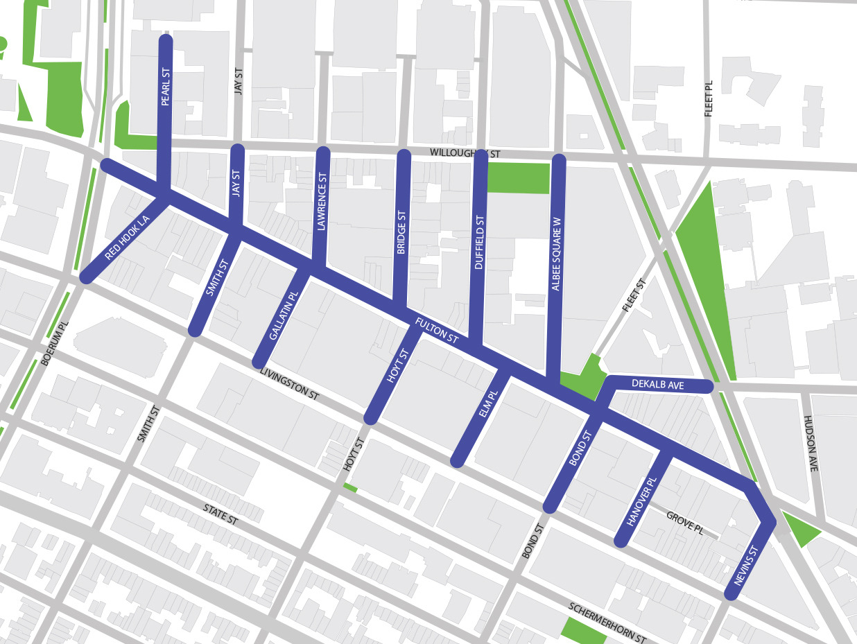
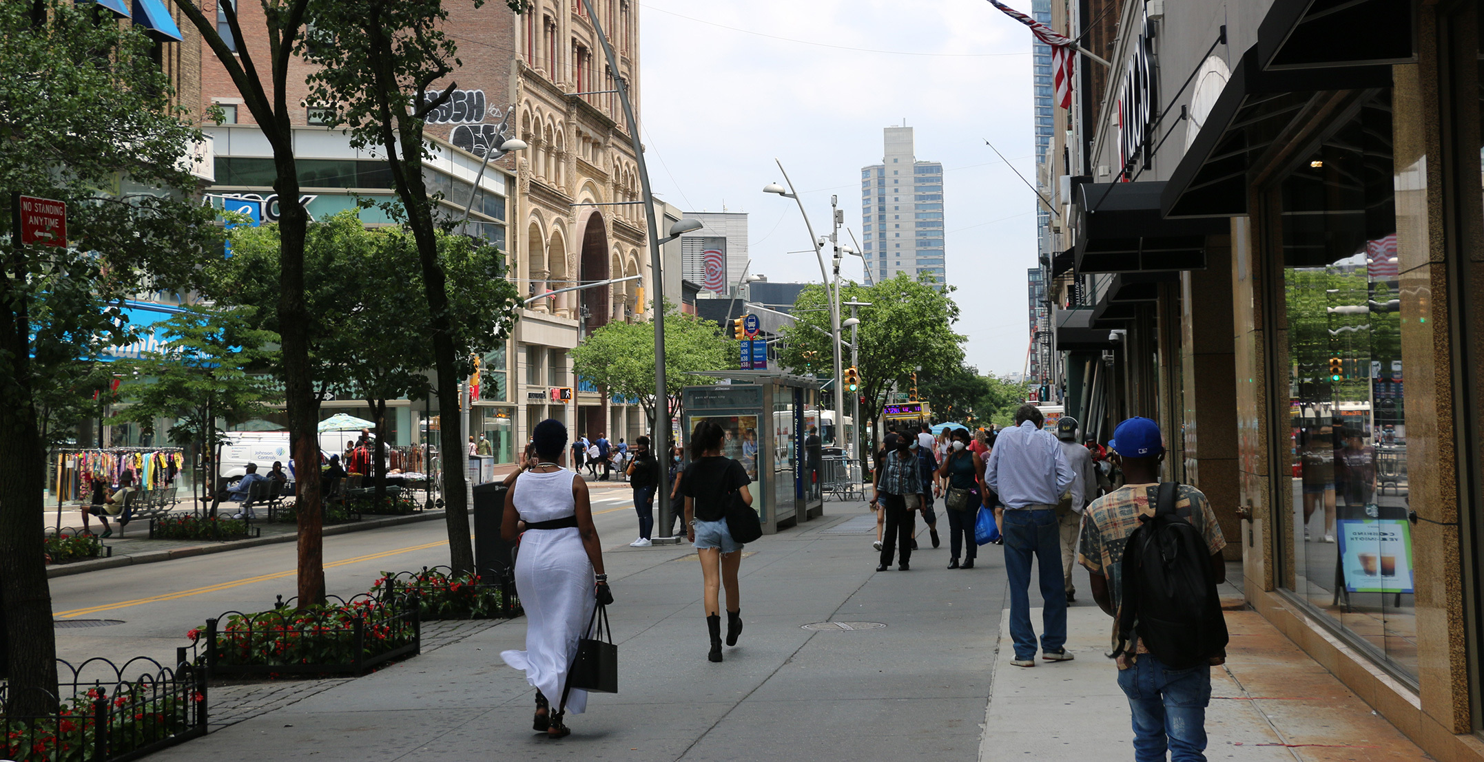
The Coord Living Lab study focuses on the Fulton Mall area, a main artery of the district and host of a variety of uses. Because the roadbed of the Mall is used predominantly as a bus route, businesses rely on cross streets along the nine-block corridor for deliveries, parking, and now Open Streets and Open Restaurants. With this study, DBP has discovered how different types of traffic and curb use work together in the area and is generating ideas for how we can support the needs of all users.
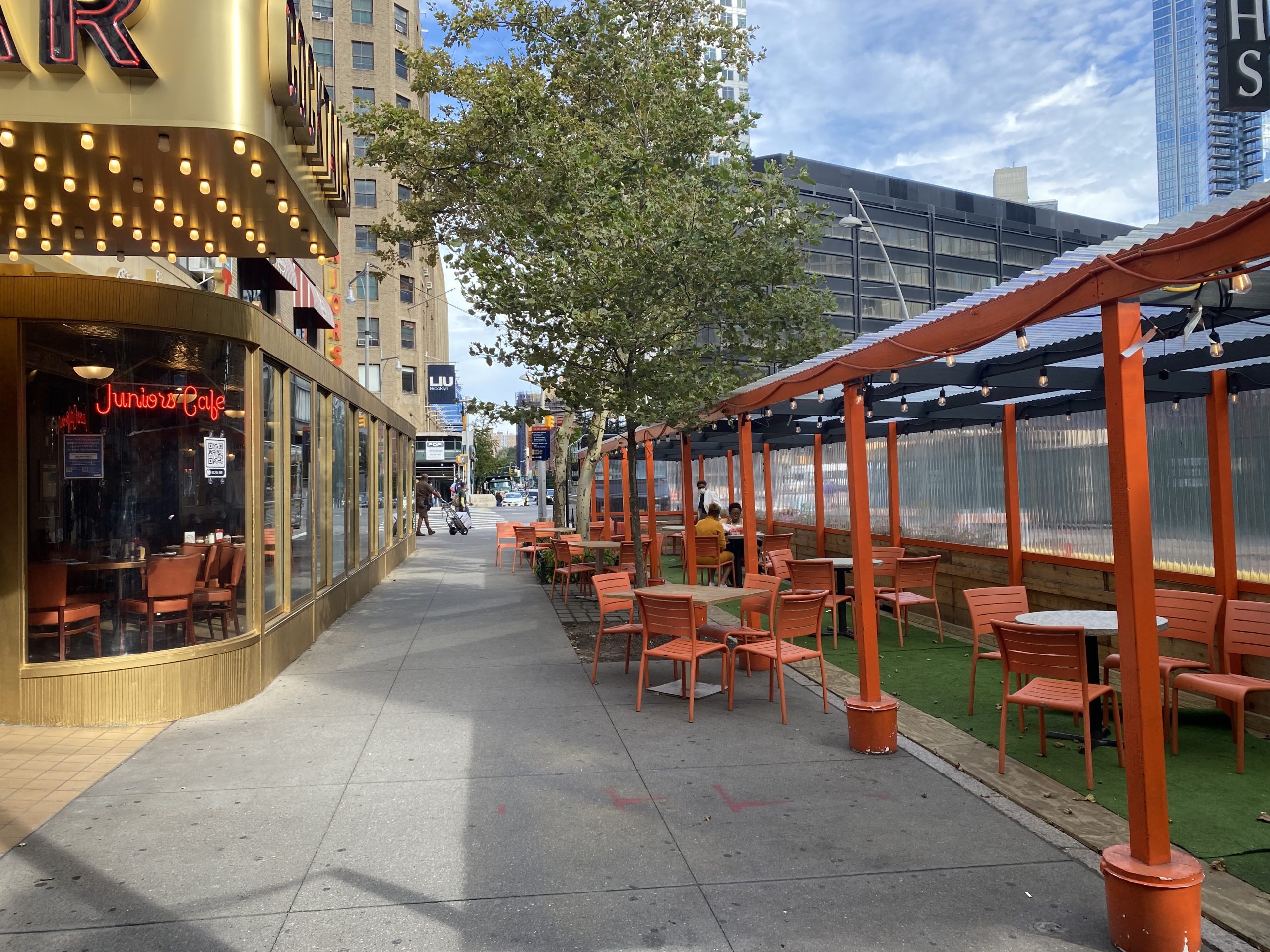
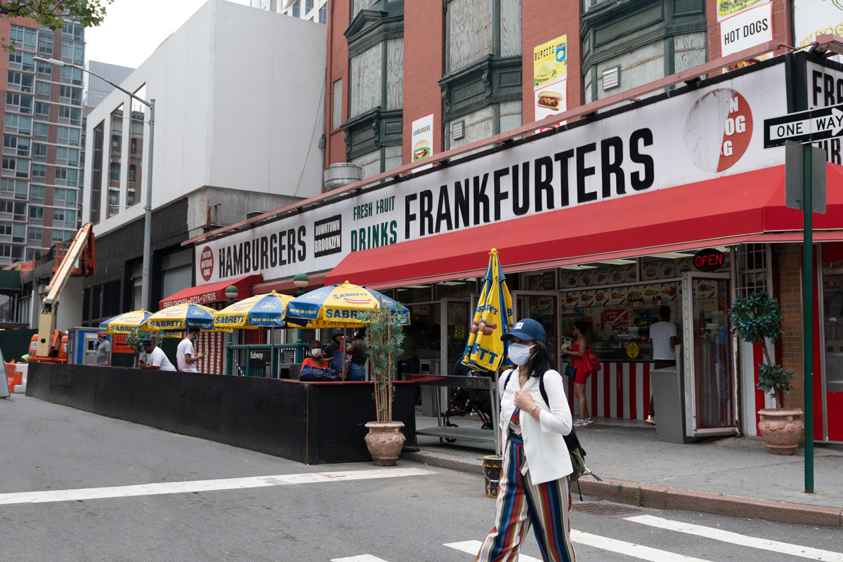
The use of curb space, both roadway/parking lane and sidewalk, has become increasingly visible in Downtown Brooklyn as sections of our local streets have been transformed into restaurants, parklets, and Shared Streets. Fulton Hot Dog King pictured above, for example, now occupies street space along Elm Place formerly reserved for vehicles. Coord’s tools will help us quantify the impact of such changes through mapping and data collection. The study employs the Coord Collector mobile app to generate an inventory of street signs, outdoor dining spaces, curb cuts, and other assets, and determine how curb space can be used for different purposes at different times of day and days of the week. We also use the mobile app to collect data on the curb to identify the occupancy of the curb space—particularly along cross streets used for parking and loading.
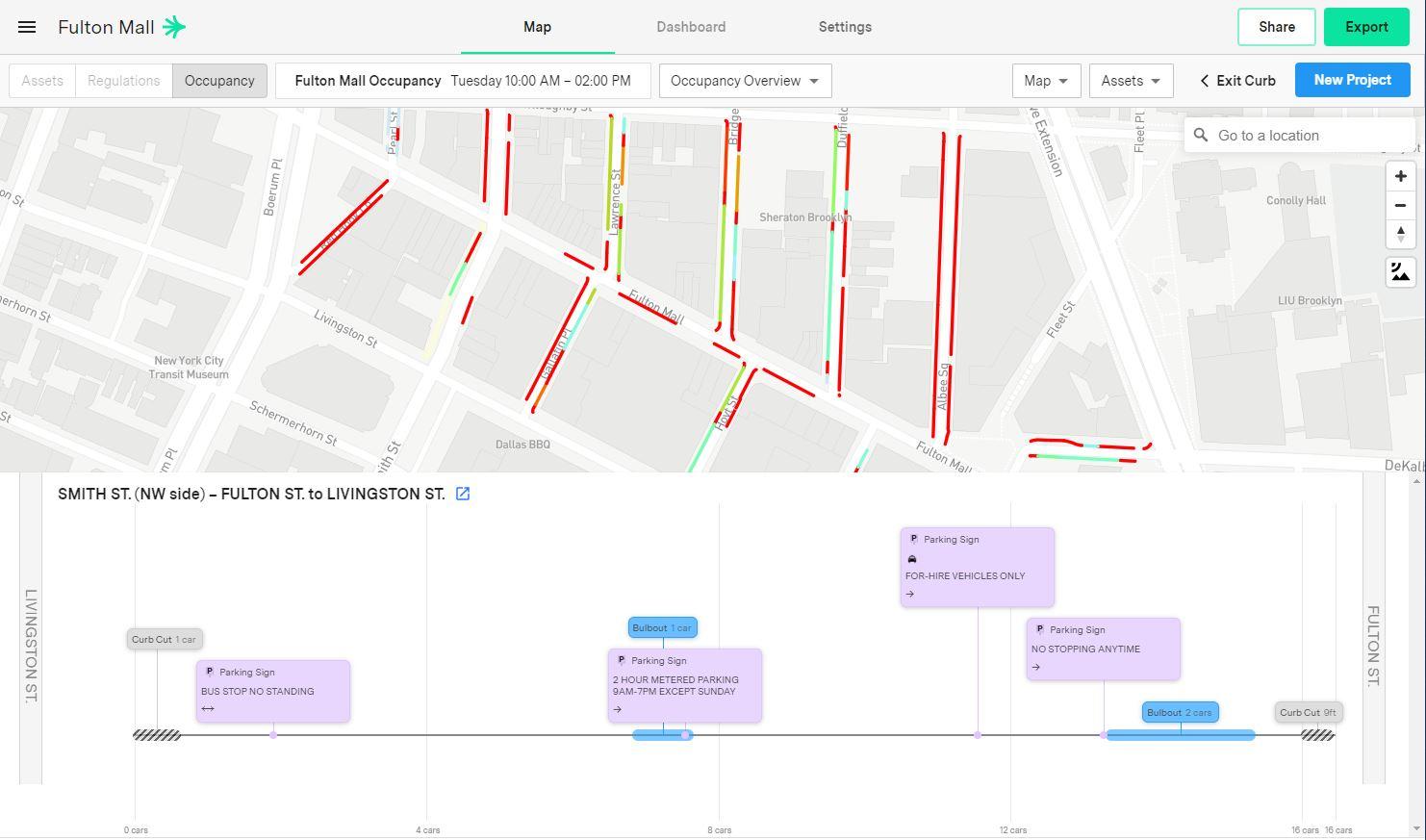
Coord’s technologies that quantify and analyze the uses and regulations of the curb will give the Partnership the tools to better manage valuable public space along the curb. The study looks at both assets on the sidewalk as well as how parking and loading lanes are being used throughout the week. As pictured above, Coord allows us to visualize the percentage of curb-side lanes occupied by vehicles. This will help DBP understand the implications of future changes in the streetscape as well as how we can better serve the needs of our district. Find the results of the case study here.