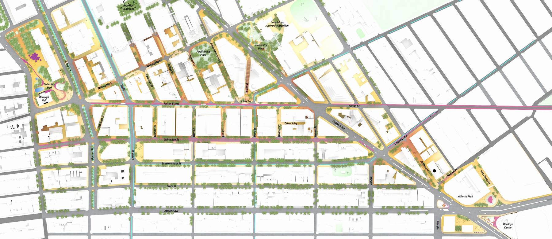
Building a downtown for people.
Since the release of its Public Realm Action Plan in 2021, Downtown Brooklyn Partnership has put into motion a number of projects that have turned pavement into places — plazas, parks, shared streets, and streetscapes that put people first. Take a walk with us to see what has been achieved, what changed, and what is coming next.
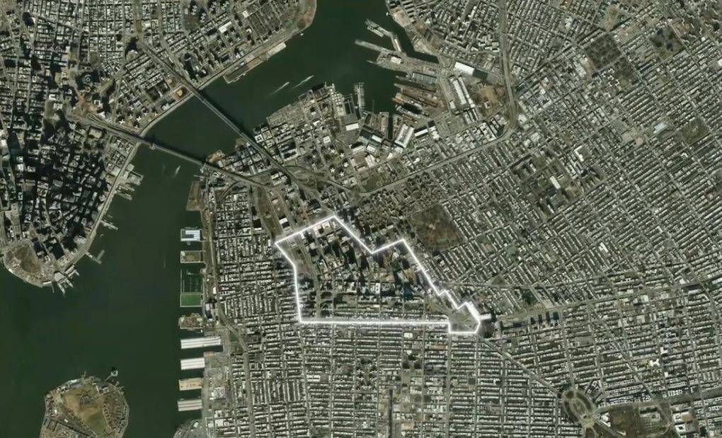
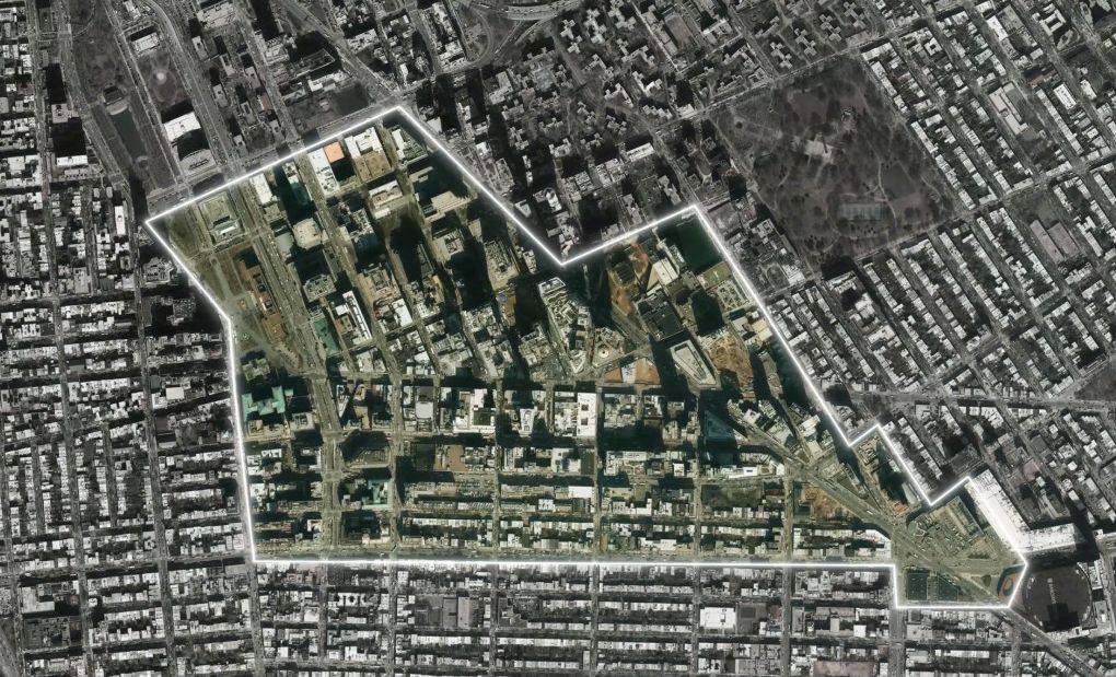
Downtown Brooklyn is the heart of the borough.
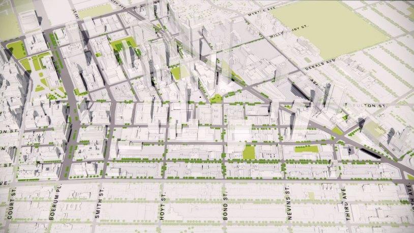
There has been unprecedented growth since 2004.
While the neighborhood has grown vertically, its public spaces have not kept pace with the demands of new development.
Downtown Brooklyn’s streets and open spaces hadn’t been substantially upgraded since the post-war era, even as the neighborhood grew and the standards for great public space changed. Walkability, bikeability, pedestrianization, and multimodal connectivity now inform what a downtown should embody. We are now transforming parking spaces into public space.
In 2018, Downtown Brooklyn Partnership worked with WXY and BIG to develop a long-term action plan that met emerging challenges with strategic opportunities.
The resulting Downtown Brooklyn Public Realm Action Plan, released in 2021, outlined a series of strategic interventions designed to create a streetscape that meets the needs of a modern, dynamic downtown.
An Action Plan calls for action. Since 2021, these projects have moved from paper to pavement.
The need was not only fueled by explosive growth.
Streets and open spaces from the post-war era, not upgraded since.
- Narrow sidewalks
- Little tree cover
- Few pedestrian amenities
- Few parks
- Little seating
The thinking around what a downtown could be had changed.
New standards for making a great downtown.
- Walkability
- Bikeability
- Pedestrianization
- Multimodal connectivity
- Streetscape
- Sustainability
- Open space
On the ground, the pace is constant.
Growth increased the need. Outdated streets, sidewalks, and open space made the case.
Foundational work — proof of concept
More than a decade ago, two plazas served as the proof of concept: early tests of car-free public space in a growing downtown with new needs for it.
Albee Square
One of Brooklyn’s original gathering spaces, expanded with the de-mapping of DeKalb Ave. An early proof-of-concept for a car-free pedestrian space.
Willoughby Plaza
A pedestrian plaza carved out of former roadway, long before “public realm” was part of the district’s vocabulary.
Completed
Distinct projects, multiple partners, one direction: more green; more space to gather; streetscapes that invite one to stay awhile.
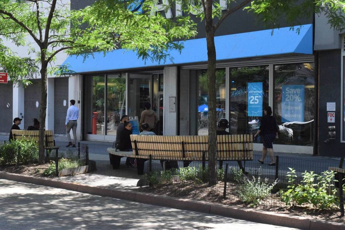
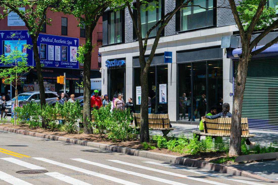
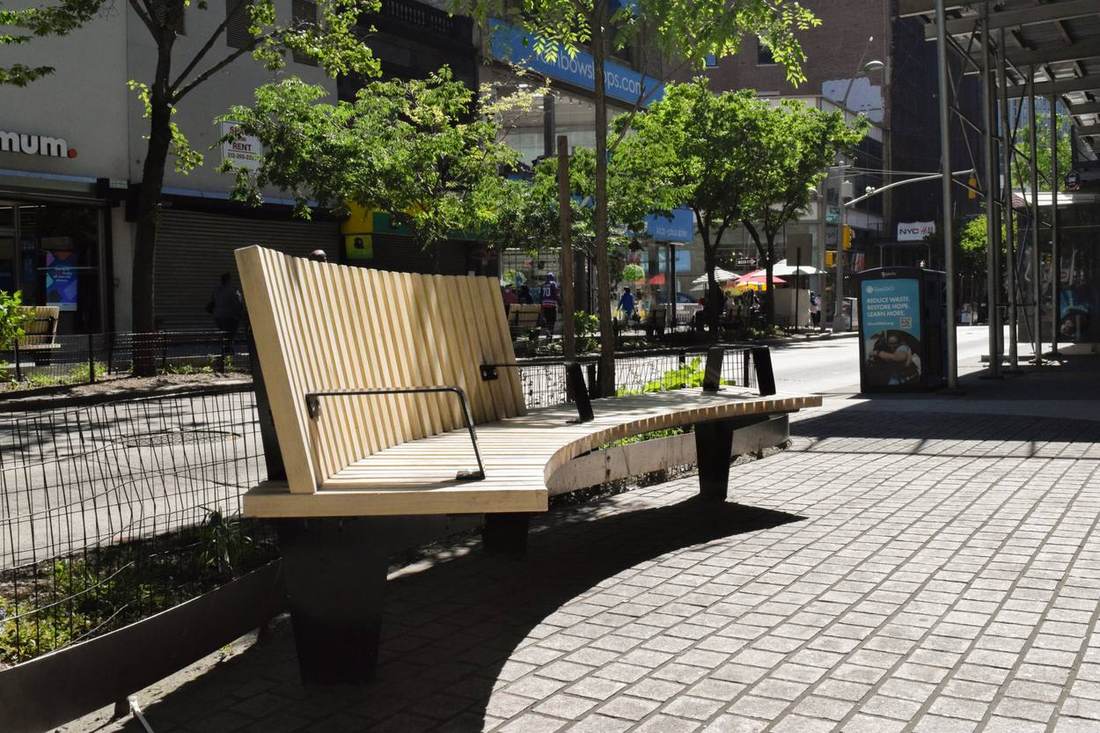
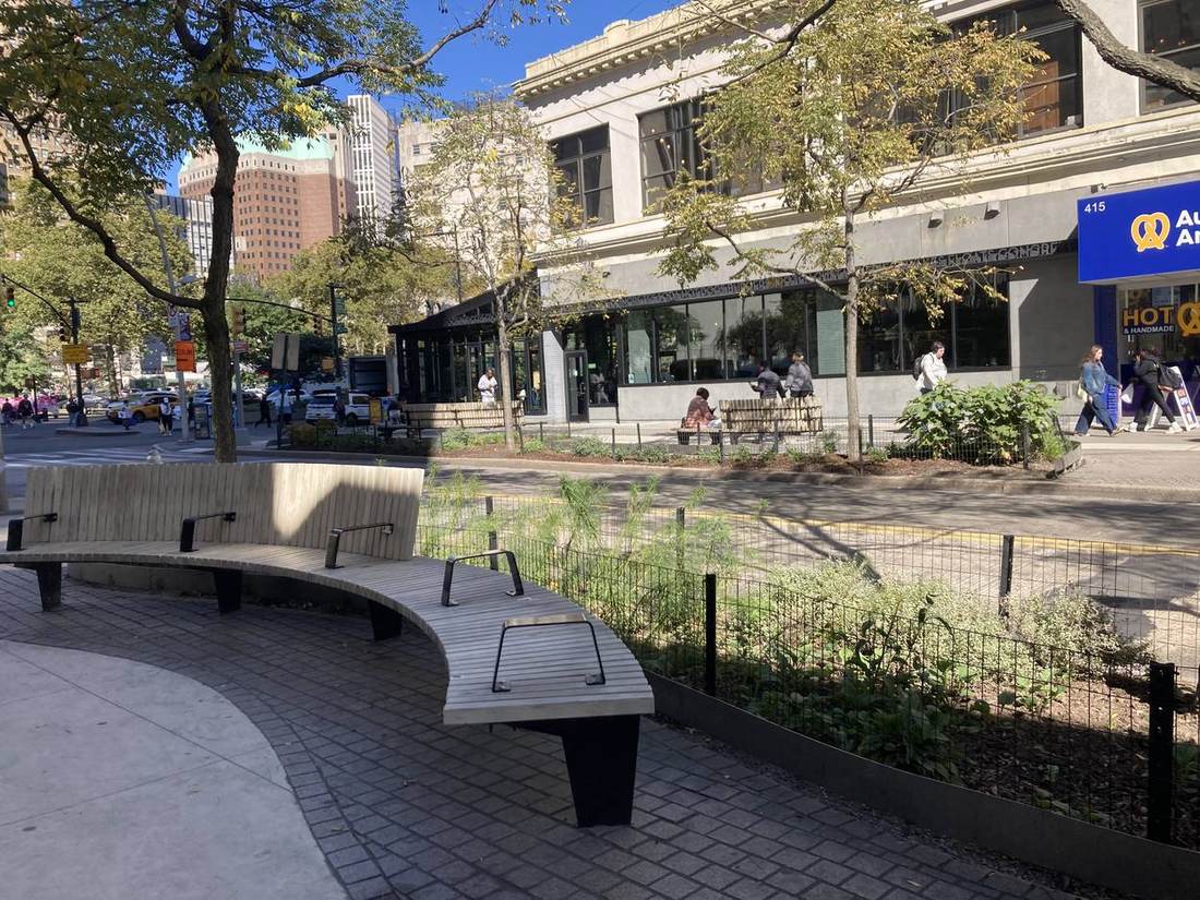
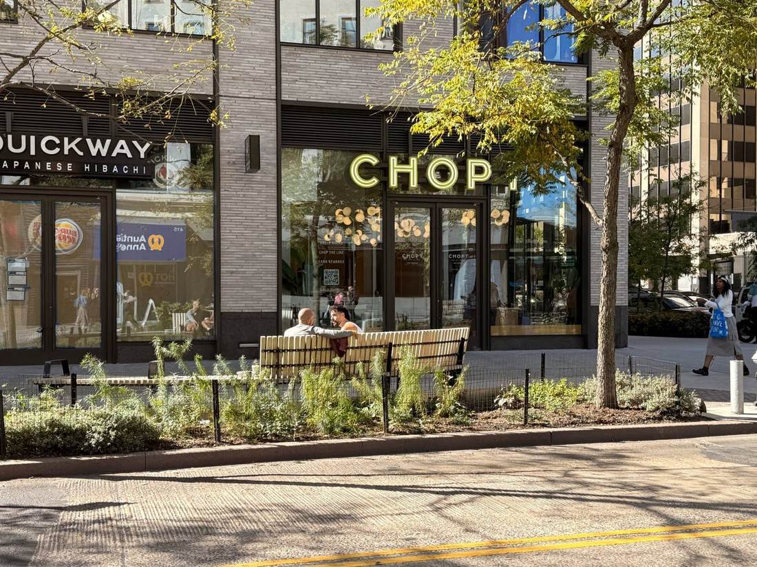
Fulton Mall Revitalization Project
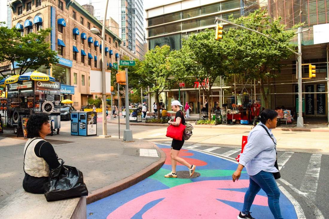
A full reimagining of Brooklyn’s famous retail corridor — curvilinear, permeable paving, expanded planting beds, and inviting street furniture designed to attract visitors to shop and stay a while.
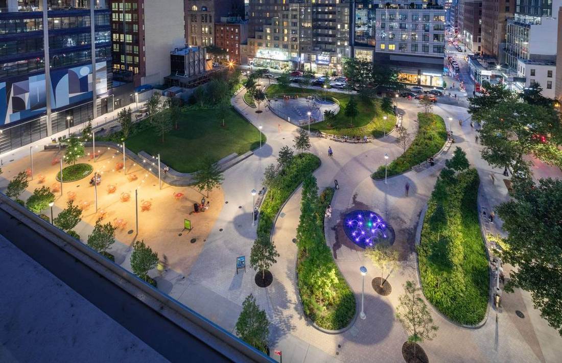 Photo: Hai Zhang
Abolitionist Place
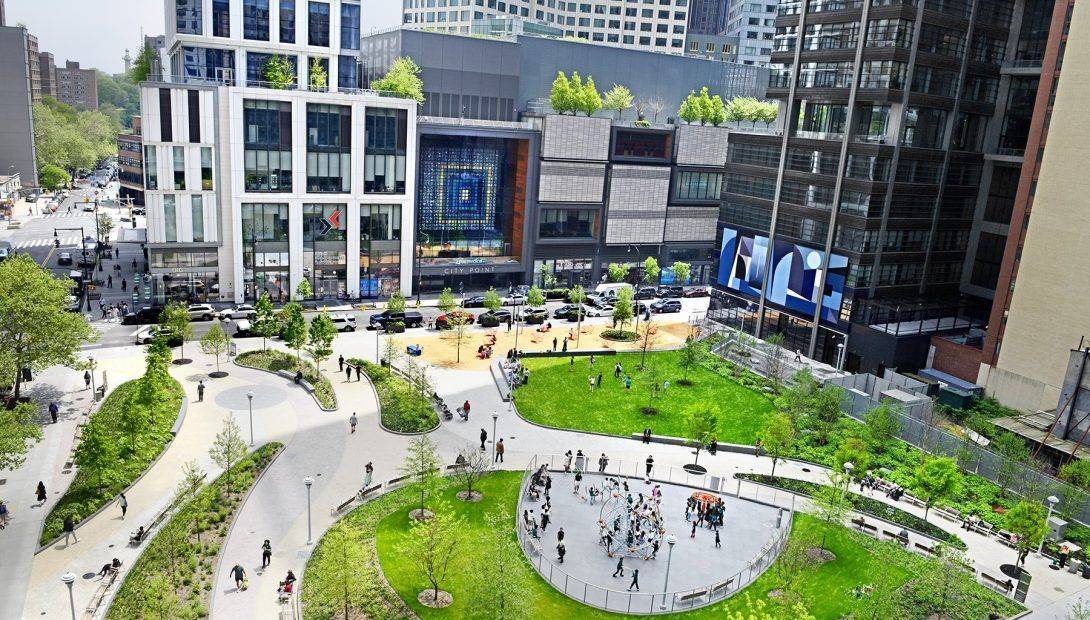
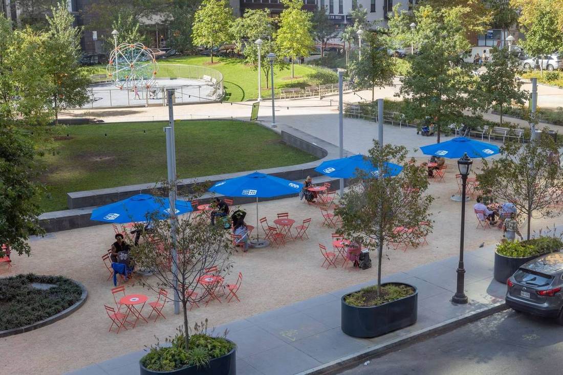
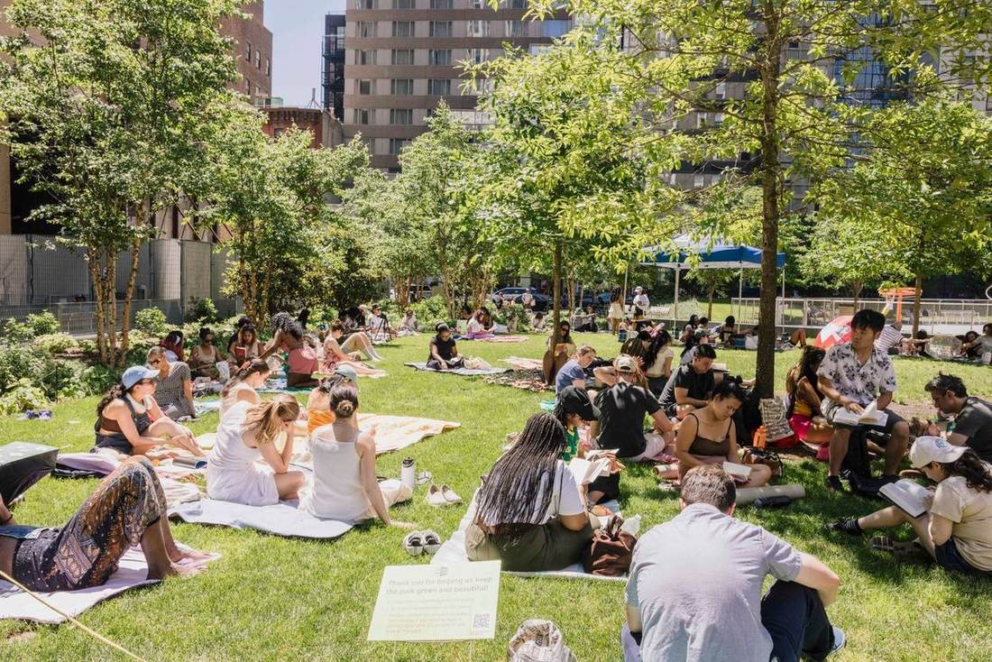
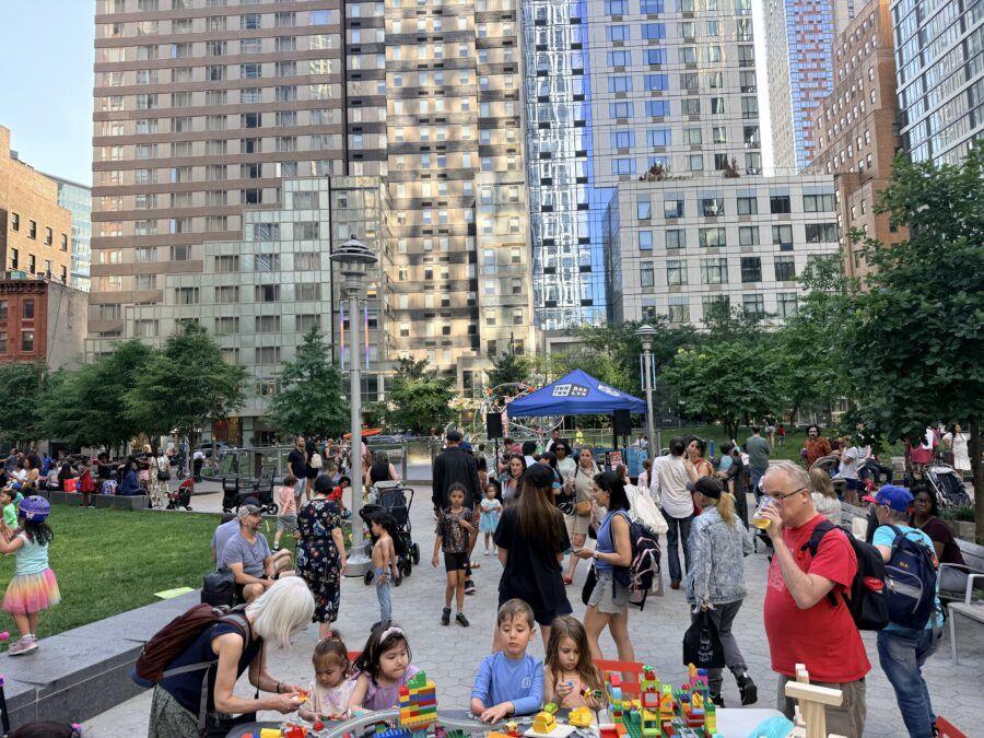
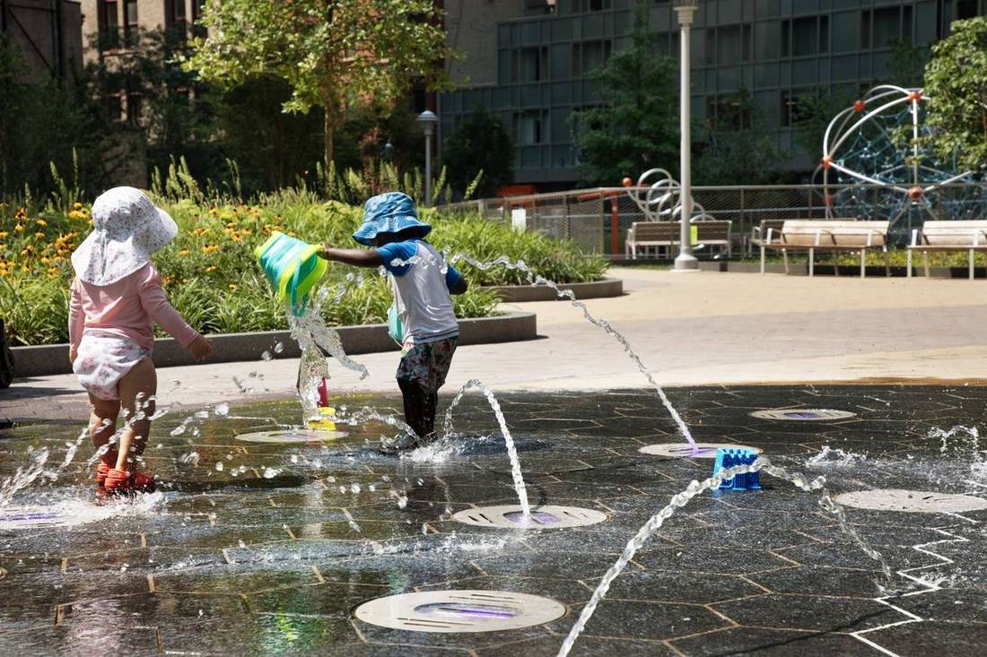
A 1.4-acre park at the center of Downtown Brooklyn — now the district’s flagship public space, and a home for programming, relaxation, and everyday public life.
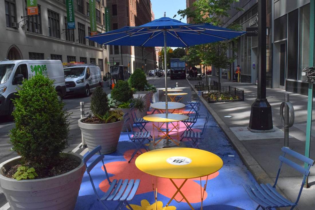
Shared Streets
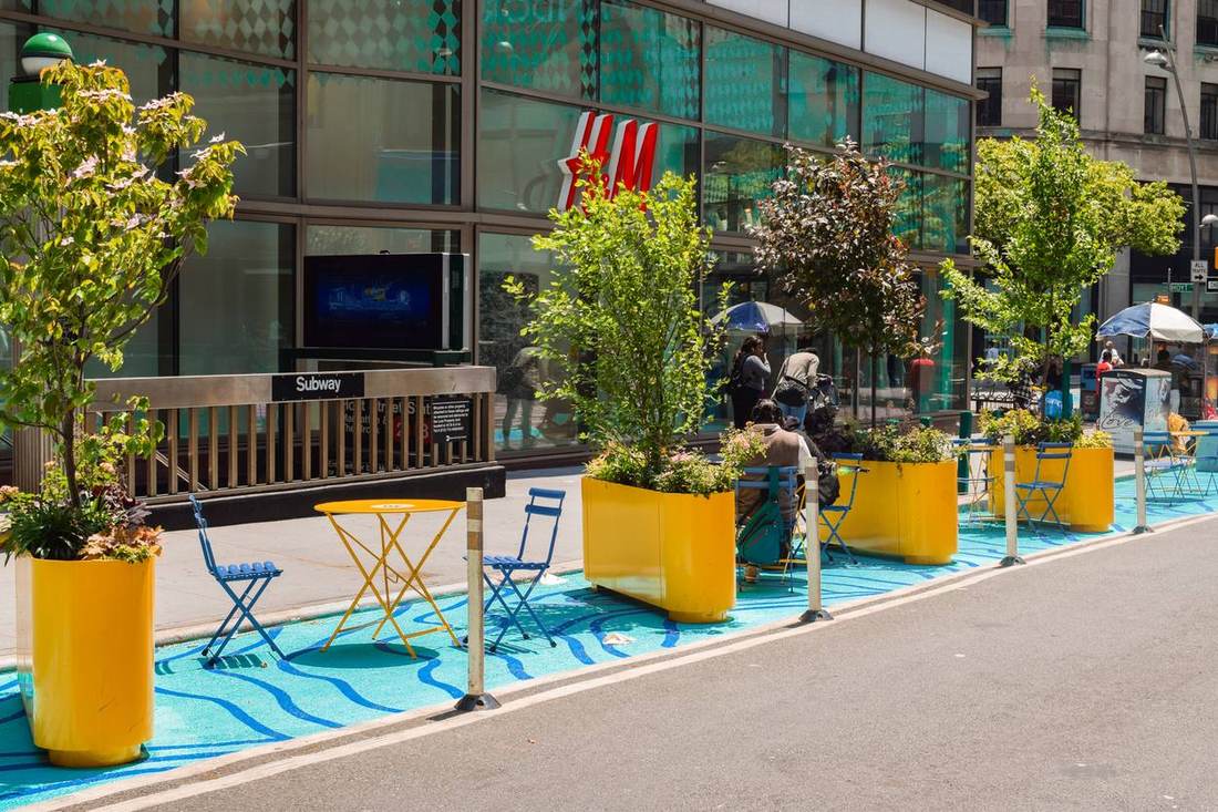
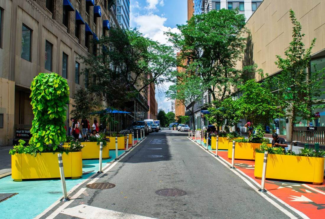
Slower streets where people and vehicles share the right of way — prioritizing pedestrian movement without redesigning the curb itself, and providing a canvas for public art.
Bridge Street Shared Street
Public Realm Toolkit in Action
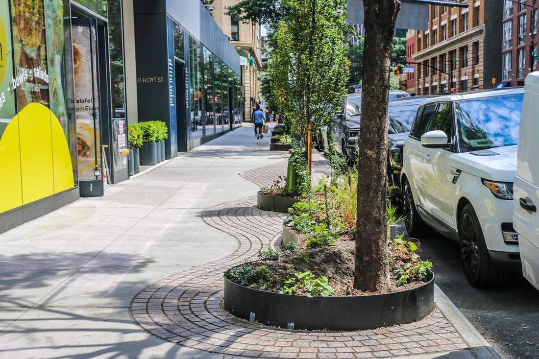
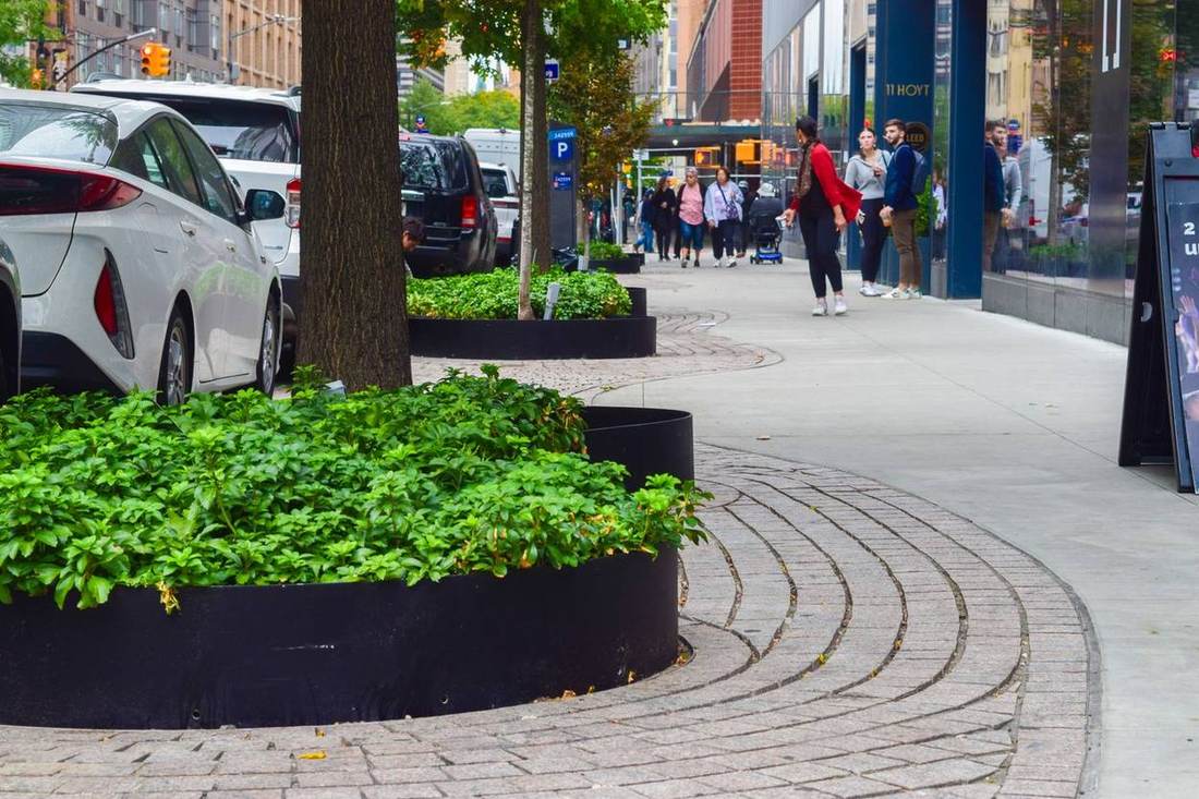
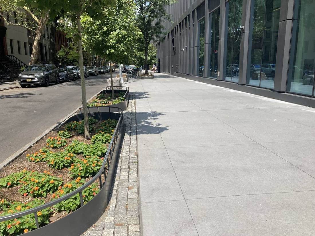
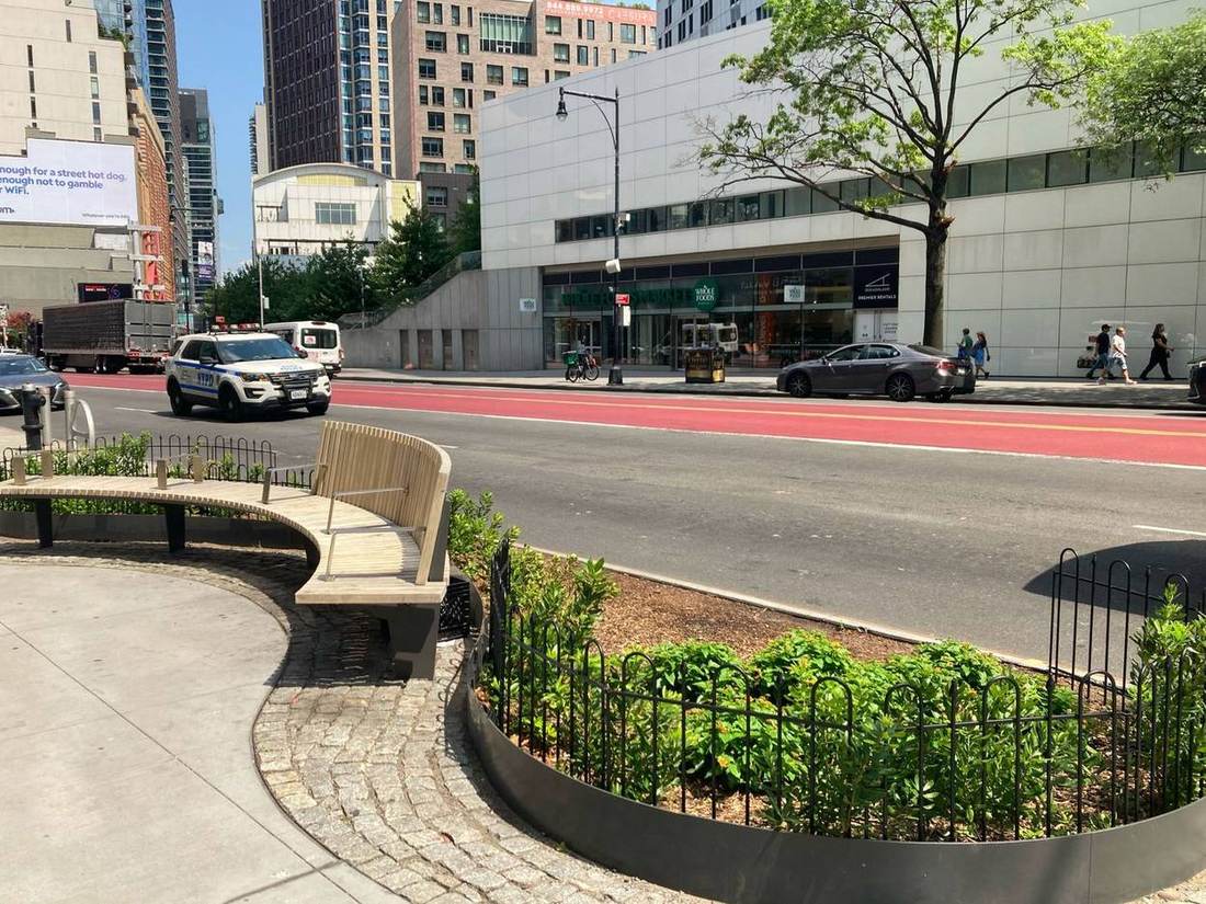
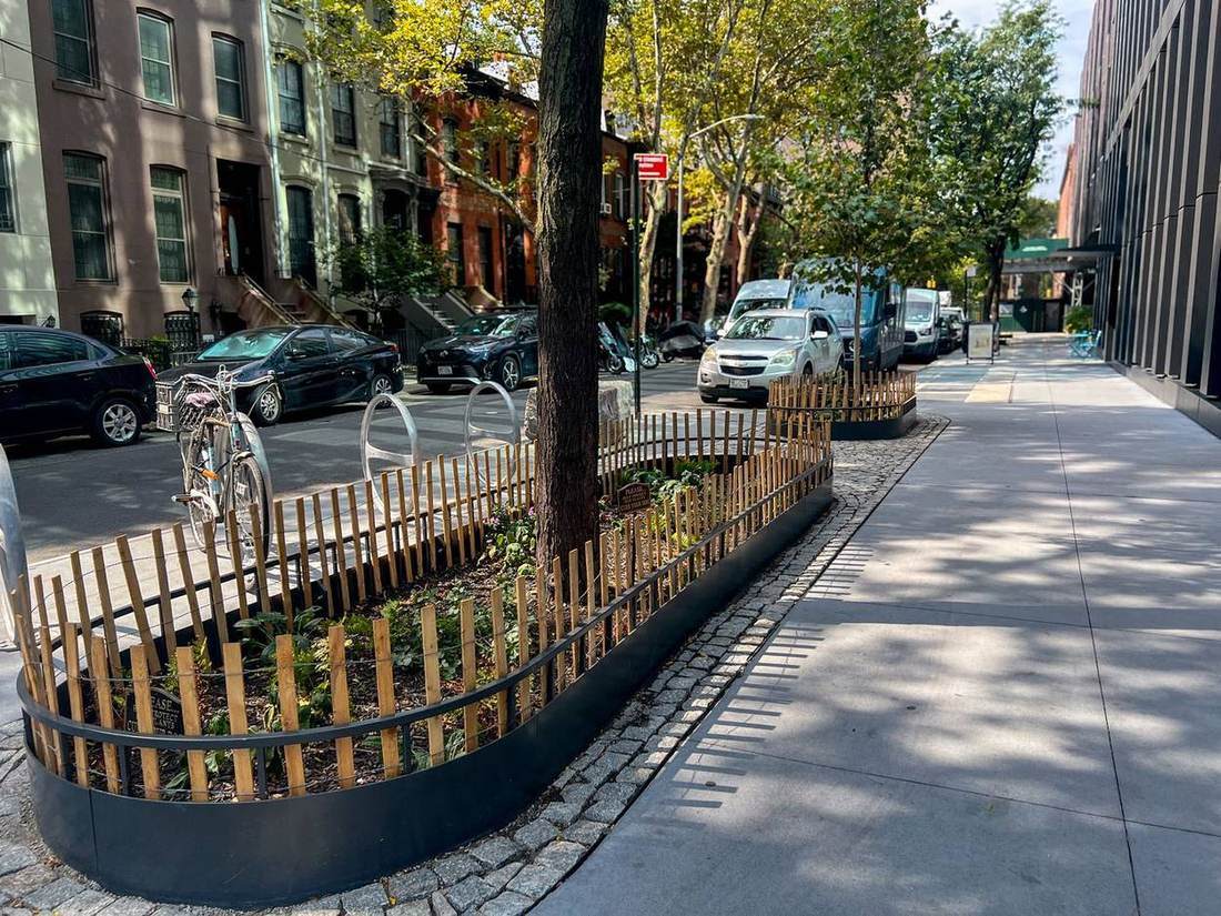
New development brings the opportunity for new public space that goes above and beyond the norm. 11 Hoyt, The Alloy Block, and The Brook each incorporated elements of DBP’s Public Realm Toolkit, including widened sidewalks, new planting beds, wooden benches, and permeable paving, to create more inviting, pedestrian-friendly environments.
11 Hoyt
The Alloy Block
The Brook
Sustainability goals
1,000+
new trees planned district-wide to improve air quality and reduce urban heat island effect
4 miles
of new planting closing gaps in the district's tree network
230%
increase in surface permeability across the study area
In the works
The next stretch of the route is already taking shape — from a foundational civic space about to be reborn, to a new chapter for Grove Alley and expanded ped space for Temple Square.
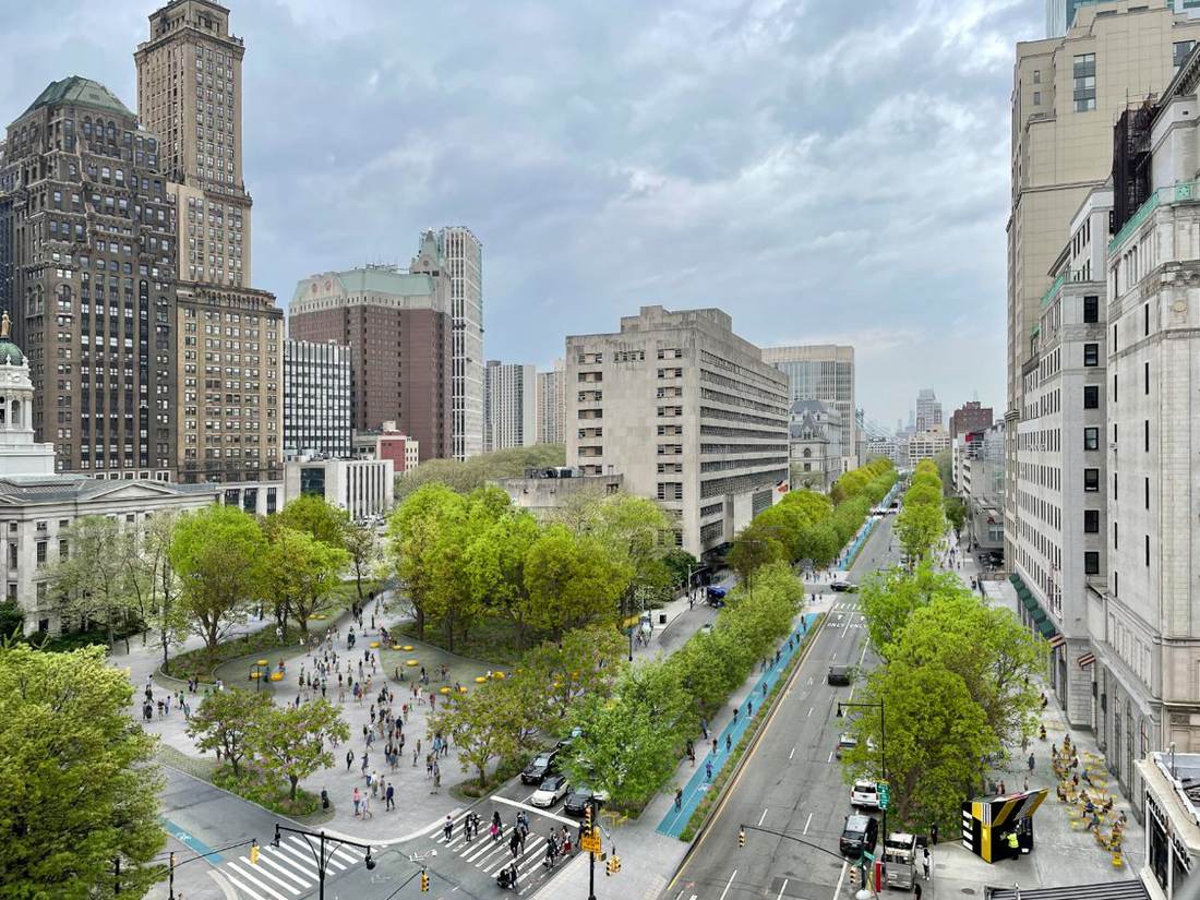 Rendering courtesy WXY Studio
Adams Street Redesign
Content to follow.
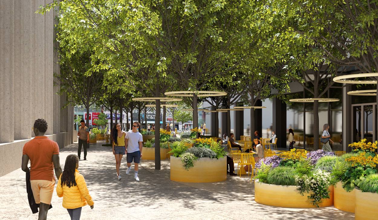
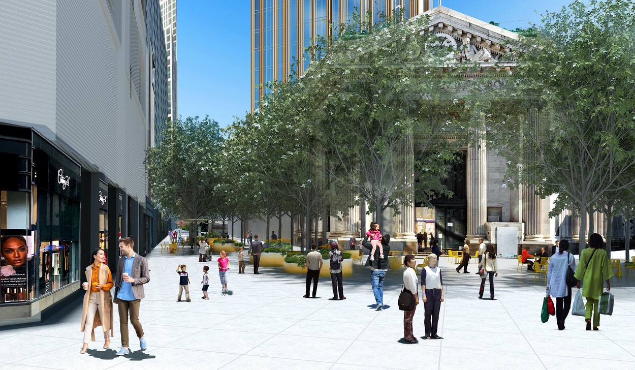
Fleet Street + Albee Square
Expanded gathering space around the historic Dime Savings Bank building — tree-filled, signature seating, inviting everyday public life at the heart of Downtown Brooklyn.
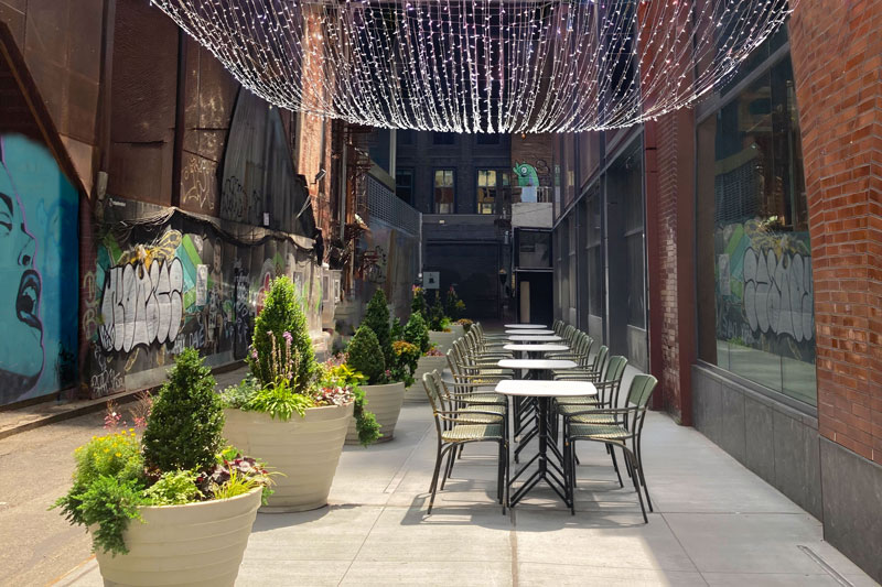
Grove Alley
Content to follow
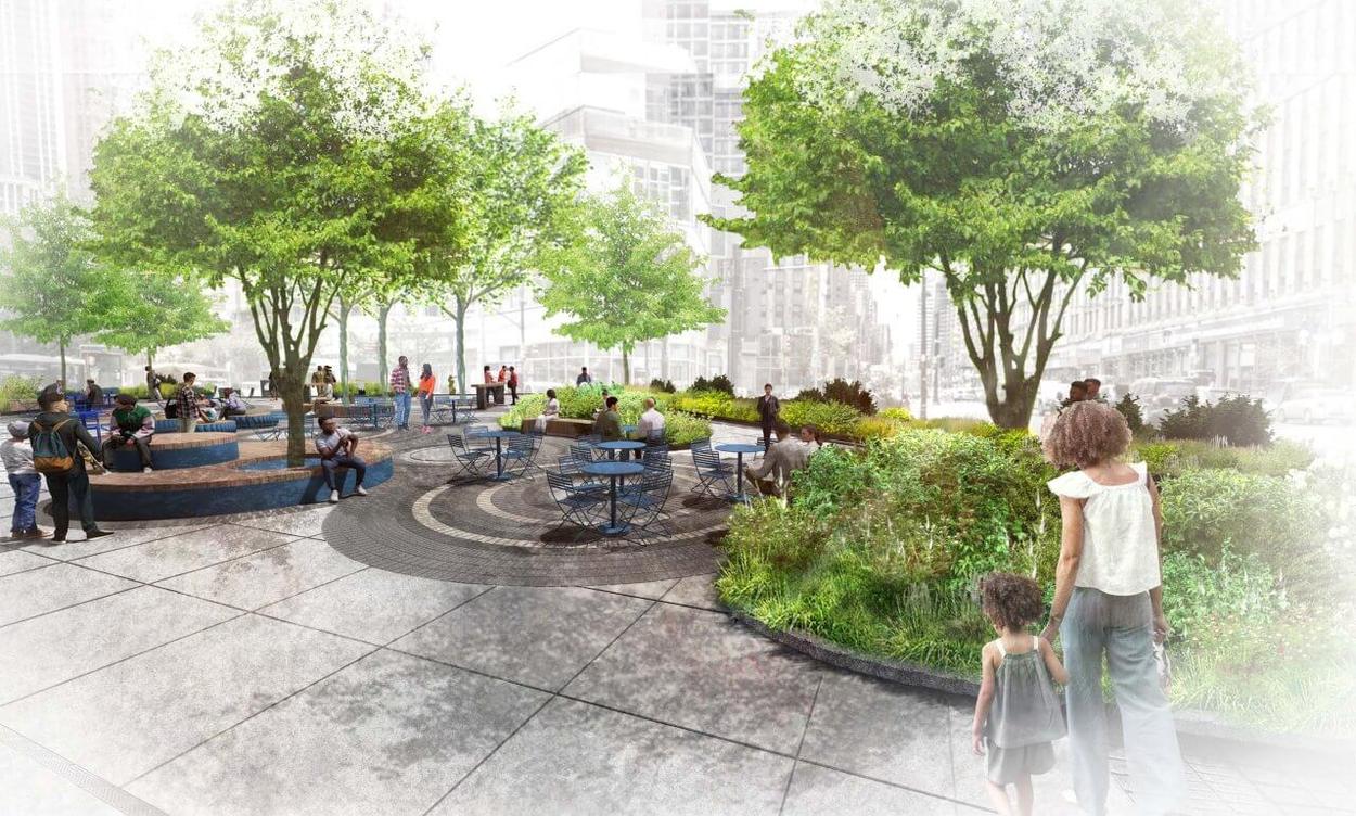 Rendering
Temple Square
Content to follow.
Bold Brooklyn
Together, these efforts shape what's next and set the stage for the future.
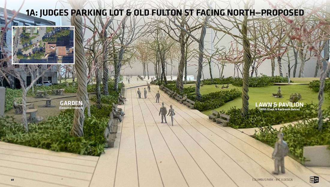
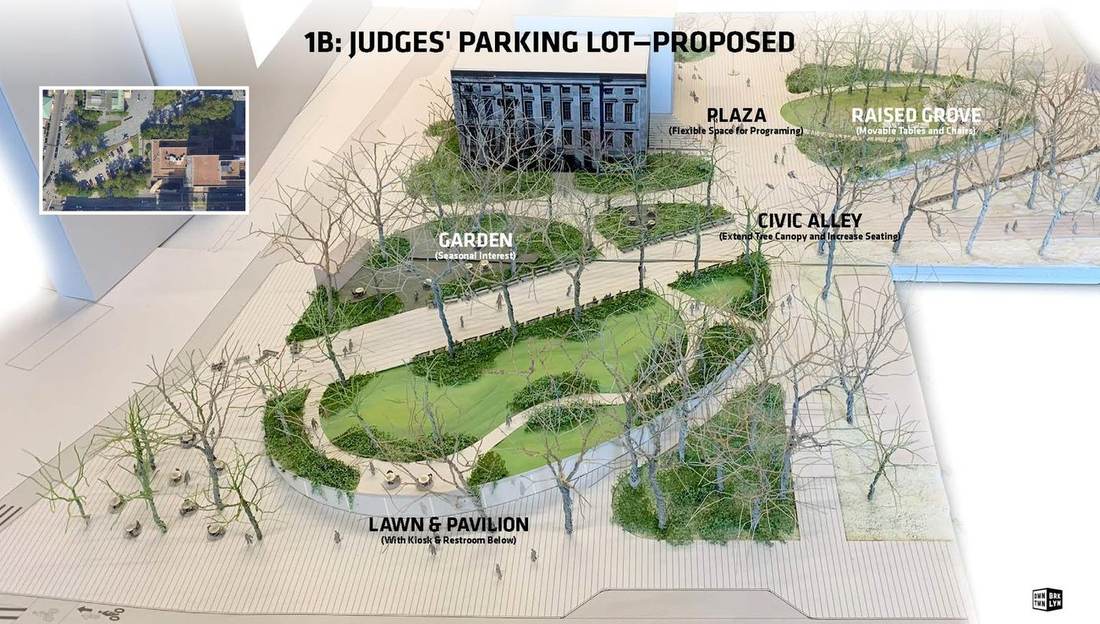
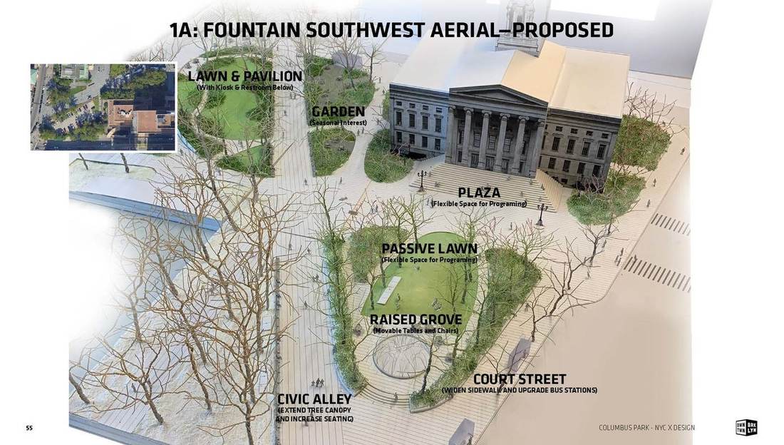
Columbus Park Reimagined
Eight acres of city-owned open space at the border of Downtown Brooklyn and Brooklyn Heights, underused for decades. Since 2024, DBP has partnered with Brooklyn Borough President Antonio Reynoso and Council Member Lincoln Restler — engaging WXY Studio and Michael Van Valkenburgh Associates on a community-driven vision unveiled in 2025.
Explore the full map
Every plaza, streetscape, and shared street from the Action Plan, laid out in one place — zoom in to see how it all connects.
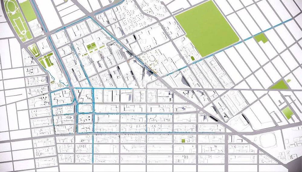
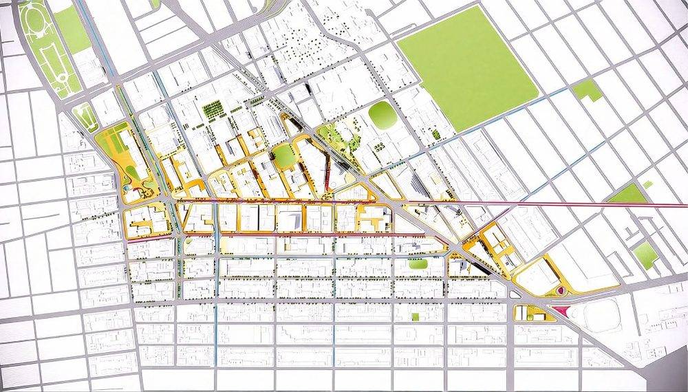
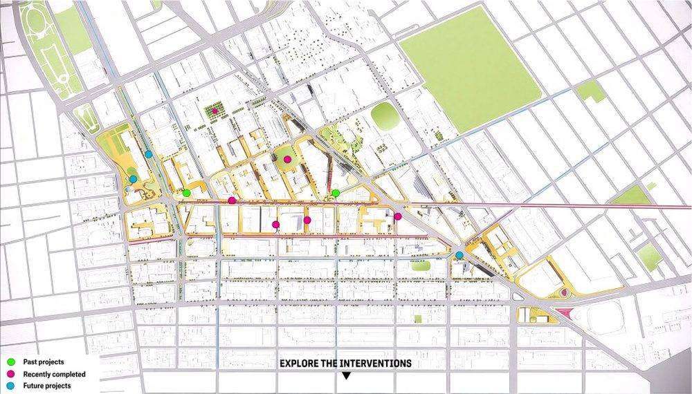 Draft map from WXY deck — interactive version to come